Civil / Structural Engineering
Our Service To You
Discover more about our extensive range of Civil and Structural Engineering services. We constantly update this page, but if you still can’t find what you’re looking for, please feel free to get in touch with us – we will be more than happy to help.

Topographic Surveys
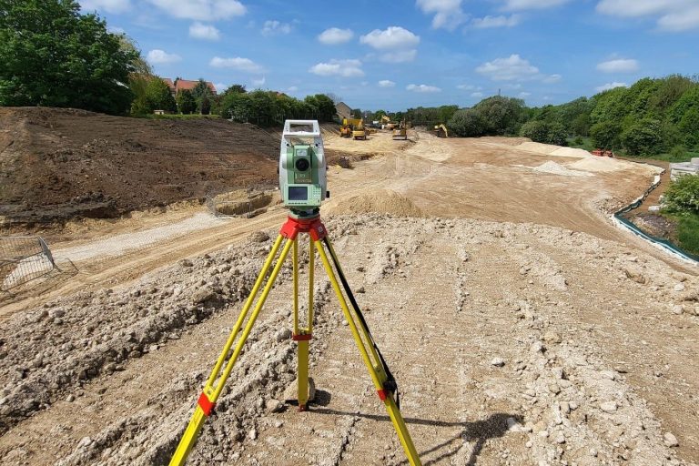
Topographical surveys, also known as land surveys (or, more colloquially, a topo survey) are used by professionals in the design and planning stage of a project.
Topographical surveys are an indispensable tool for professionals and are vital in reducing the risk of costly mistakes caused by unforeseen issues.
Topographical survey plans are delivered digitally, in CAD format, and will show all features (both natural and man-made) such as buildings, boundaries, service covers and site levels within a specified area. All such details can be delivered in either 2D or 3D, depending on the needs of the client.
Rosa Engineering boasts extensive experience in undertaking topographical surveys of varying sizes and complexities, ranging from garden surveys for landscape architects to large inner-city estates for local authorities. We proudly work across a multitude of sectors, offering topographical surveys and other measured survey solutions throughout the UK.

Measured Building Surveys
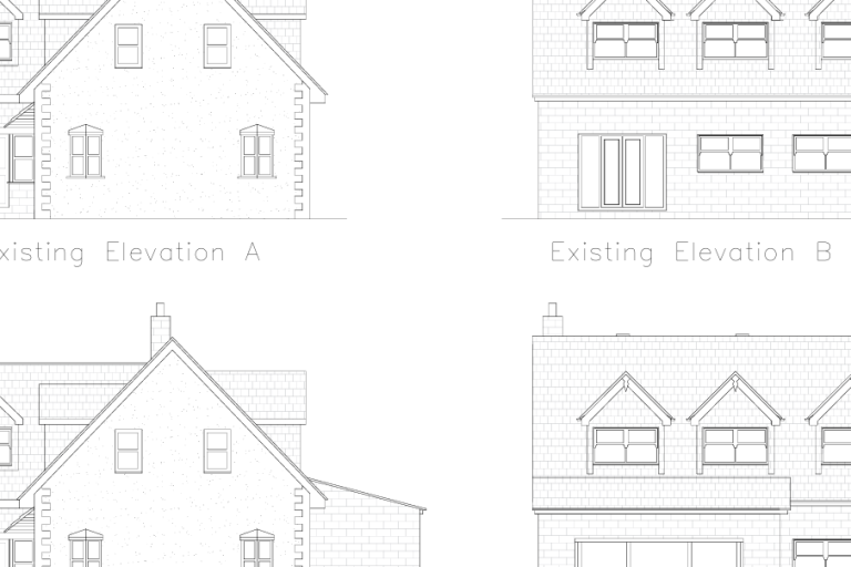
Rosa Engineering complete Measured Building Surveys throughout the UK. Whether it is accurately measured elevations, sections or floor plans, we have experience of all types of building from large industrial units to smaller listed structures and historic buildings.
We work closely with clients in order to establish a specification that is individually tailored to the requirements of the project, avoiding any unnecessary work and cost.
The surveys can be delivered in a variety of ways from traditional paper plans to three dimensional models, via email at a scale of the client’s choice.

Precision Levelling
Precise levelling to sub 1mm tolerances is essential where precision is crucial to the project. Rosa Engineering’s surveyors, operating throughout the UK, use the most modern digital levels, staffs and processing software to provide high accuracy and traceability.
Some of our latest projects involve working with the renewable energy sector, precisely setting out the foundation pads for wind turbines where level and accuracy is key.
The most common deployment of this technology is the measurement of building settlement over time or even establishing if a building has stopped moving and is stable.

Deformation Monitoring
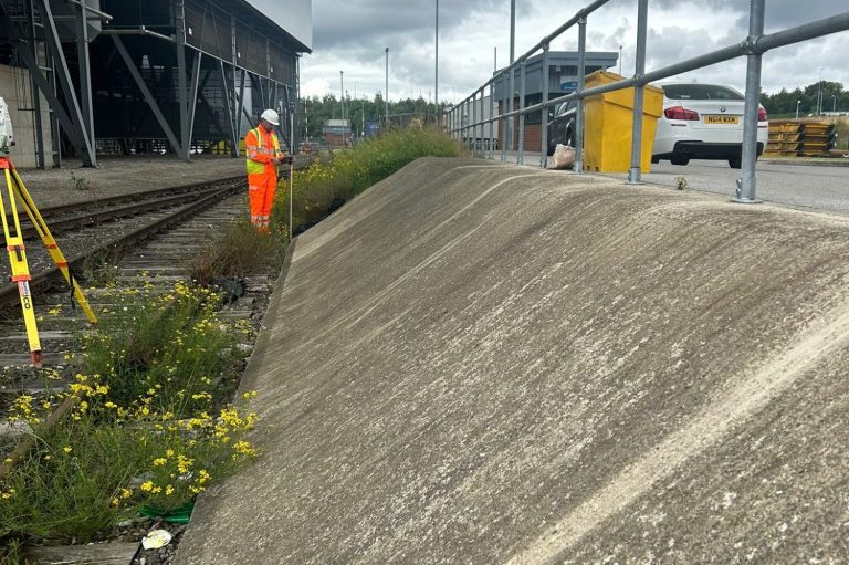
We offer Deformation Monitoring Surveys throughout the UK. Our process is to carry out repeated checks on level and position over a period of time, to build up a picture of movement in various situations. We check for building movement, settlement or overturning, and can also monitor heave or settlement of the ground during adjacent works; for example monitoring movement of railway embankments during grouting and earthworks on an adjacent site or ground settlement below surcharge mounds to ensure accurate foundation design.
Using cutting edge technology we can also monitor movement from remote positions on neighbouring land without the need to access the immediate locality. All our work is processed via modern instrumentation and computer software with inbuilt established work flows and quality control systems giving high levels of accuracy and traceability.

Structural Design /
Civil Design
We undertake design in all structural materials and engineer buildings from the domestic scale through to multi-storey commercial developments.
All aspects of building structures are catered for from foundation through suspended floors to roof.
We provide a comprehensive range of civil engineering services including earthworks, roads, drainage networks and SUDs system designs. We utilise industry standard software including Civils 3D and Microdrainage. Often we provide civil engineering services packaged with structural engineering, but we also work with civils as a single discipline.

3D Ground Modelling and Volumetric Analysis
Highly accurate cut and fill calculation of earthworks can be determined using ground modelling and volumetrics. This can be used to support the design process of landscape regeneration.
Ground modelling turns a topographical survey, with levels and heights, into a 3D contoured or triangulated map. This provides a visual representation of the shape of the site measured.
Before any ground breaking activities, an initial level survey of the site should be completed in order to obtain accurate Original Ground Survey (OGL) data. Following processing, a digital terrain model (DTM) of the site is created, which can be used as the basis for all further surveys and volume computations. Additional surveys can be conducted at various milestones throughout the project to provide updated 3D digital models that can be compared to the OGL to determine the volume excavated or filled.
Our state-of-the-art software enables different planes of the site to be viewed. Volumetrics is the process by which cubic metres of land/material mass can be calculated to create a desired outcome – for example, providing accurate areas of volumes for cut/fill balancing, or creating a mound or depression in the land to suit your design needs.
We need your consent to load the translations
We use a third-party service to translate the website content that may collect data about your activity. Please review the details in the privacy policy and accept the service to view the translations.

